What is LandPKS?
LandPKS stands for Land Potential Knowledge System. Land potential is defined as the inherent, long-term potential of the land to sustainably generate ecosystem services. Land potential at any location depends on the type of soil, topography, and climate. Understanding a land’s potential – including how much water and carbon it can store, how much it can produce, and whether it can support a particular type of habitat – is critical in making decisions about what to best use it for, how to best manage it, and which degraded land to prioritize for restoration.
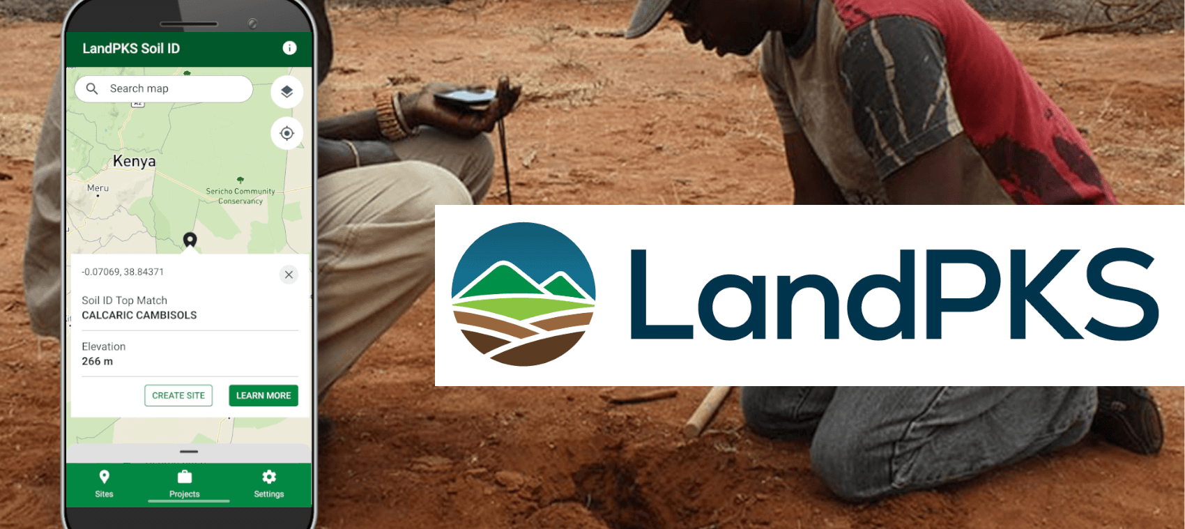
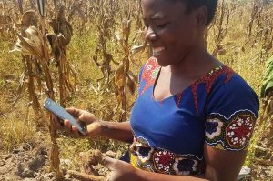
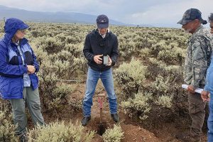
Today, the LandPKS Soil ID app from Terraso empowers users to collect soil data at sites and identify the soil using built-in tools and guides. In the future, we plan to add features for measuring soil health, monitoring vegetation, and making land management decisions.
Rebuilding a powerful soil science application
We are building upon the successes of the original LandPKS application with a focus on user-centered design and a modern codebase. The new LandPKS Soil ID is easier to use, preserves and enhances the core functionality of Soil ID, and introduces exciting new additions to the app.
Our Mission
At Terraso, we build open source tools for a more sustainable world. With LandPKS our goal is to create highly usable, powerful tools for making sustainable land management decisions. We seek to fill the gaps in existing technology for sustainable agriculture, land conservation, and soil sciences. We value deep collaboration with people around the globe, from smallholder farmers to national governments, to ensure we’re building what is needed to improve lives and make a better world for all of us.
Our History
LandPKS resulted from more than a decade of engagement with hundreds of individuals around the world. Development of what began as a simple idea for an “Ecological Knowledge System” in 2007 was initiated in 2013 by USDA-ARS with funding from USAID as the global “Land-Potential Knowledge System.” USAID’s initial focus on Africa led to its use as a monitoring tool for land conservancies, a resource for agricultural development, and a guide for local and regional land planning. The LandPKS team quickly realized that these same tools were needed by ranchers, farmers, community scientists, gardeners, scientists, and other land managers in the United States and around the world. In 2022, the Terraso team assumed the stewardship of the LandPKS app suite, recreating Soil ID on a modern platform with enhanced functionality. Today, LandPKS is used by land managers worldwide.

